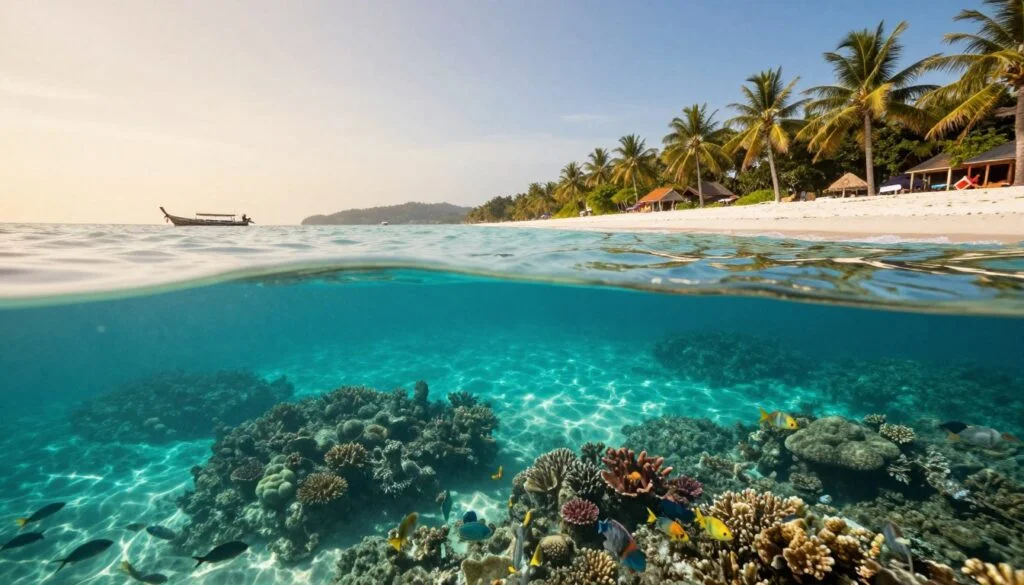
Sunrise Beach
Located on the eastern side, this beach provides easy shore access to coral reefs stretching along the coastline.
Swim at high tide to avoid walking over shallow coral.

Koh Lipe's compact coastline packs more than a dozen distinct snorkeling zones into less than three kilometers of shore. Understanding which reefs sit where—and how tides, currents, and boat traffic shape daily conditions—turns a random beach entry into a strategic dive. This koh lipe snorkeling map guide orients you to the island's underwater geography before you wade in.
Quick answer
A koh lipe snorkeling map divides the island into four coastal sectors—Sunrise Beach on the east, Sunset Beach on the west, Pattaya Beach along the south, and the protected northern shore—each holding between two and five named reef systems with distinct depth profiles, coral formations, and visibility windows. Most shore-accessible reefs lie 20 to 80 meters offshore in depths of two to six meters, while longtail boats reach deeper sites around Koh Adang and the Eight Mile Rock cluster within 15 minutes.
Every island snorkeling map tells two stories: where coral grows and when you can actually see it. Koh Lipe's reefs wrap the island in an uneven band, thickest along the eastern and northern shores where limestone ledges drop into sand channels, and sparser on the western flank where seasonal swells churn the shallows. The Tarutao National Marine Park boundary encircles the entire archipelago, meaning every underwater site operates under the same 200-baht daily entry requirement and the same no-take fishing rules. Sunrise Beach anchors the eastern zone with three adjacent reef systems: the shallow hard-coral garden directly offshore from the resorts, the deeper soft-coral slope near the southern headland, and the drift-friendly channel between Koh Lipe and Koh Adang that pulls snorkelers north during incoming tides. Pattaya Beach's southern reefs sit in the busiest boat corridor but reward early arrivals with schools of fusiliers and parrotfish threading between table corals. Sunset Beach holds the calmest shore entries, with sand giving way to scattered bommies 40 meters out—ideal for novice swimmers testing their first mask. The northern coast remains the least visited sector because no walking street connects it to the main village, yet it shelters the island's densest staghorn thickets and the highest probability of spotting blacktip reef sharks in knee-deep water. Visibility across all zones follows a tidal clock: incoming morning tides flush clear oceanic water onto the reefs, while afternoon ebb tides stir sediment and plankton back into the shallows. Weather patterns matter less than lunar phase—spring tides around the new and full moon push stronger currents through every channel, turning gentle drift snorkels into arm-burning paddles against the flow. Boat-access sites like Hin Takorn and Yong Hua add vertical dimension to the Koh Lipe snorkeling map, with pinnacles rising from 15-meter sand plains to within two meters of the surface. These offshore formations hold larger pelagic visitors—trevally, barracuda, and occasional manta rays—but require hiring a longtail or joining a scheduled tour rather than swimming from the beach.
“Visibility across all zones follows a tidal clock: incoming morning tides flush clear oceanic water onto the reefs, while afternoon ebb tides stir sediment and plankton back into the shallows.”
The best arrival window is 08:30–14:00 to capitalize on peak water visibility and light conditions before afternoon tide shifts occur. Planning your snorkeling sessions within this timeframe ensures the clearest views of the marine environment.
Dry, 27°C–32°C
Optimal conditions for calm, clear water visibility across snorkeling sites.
Frequent rain, 25°C–30°C
Expect occasional boat service disruptions due to sea conditions.
—
Early arrival provides the most stable light for underwater navigation and navigation of your snorkeling map.
Verdict: The best time to visit is during the dry season from November to April, specifically arriving between 08:30–14:00 on weekdays to avoid peak weekend crowds and maximize visibility.
Koh Lipe is surrounded by diverse snorkeling zones that offer distinct underwater topography and marine life. These locations are featured on standard marine park maps and are reachable via long-tail boat or direct shore entry.
Located on the eastern side, this beach provides easy shore access to coral reefs stretching along the coastline.
Swim at high tide to avoid walking over shallow coral.
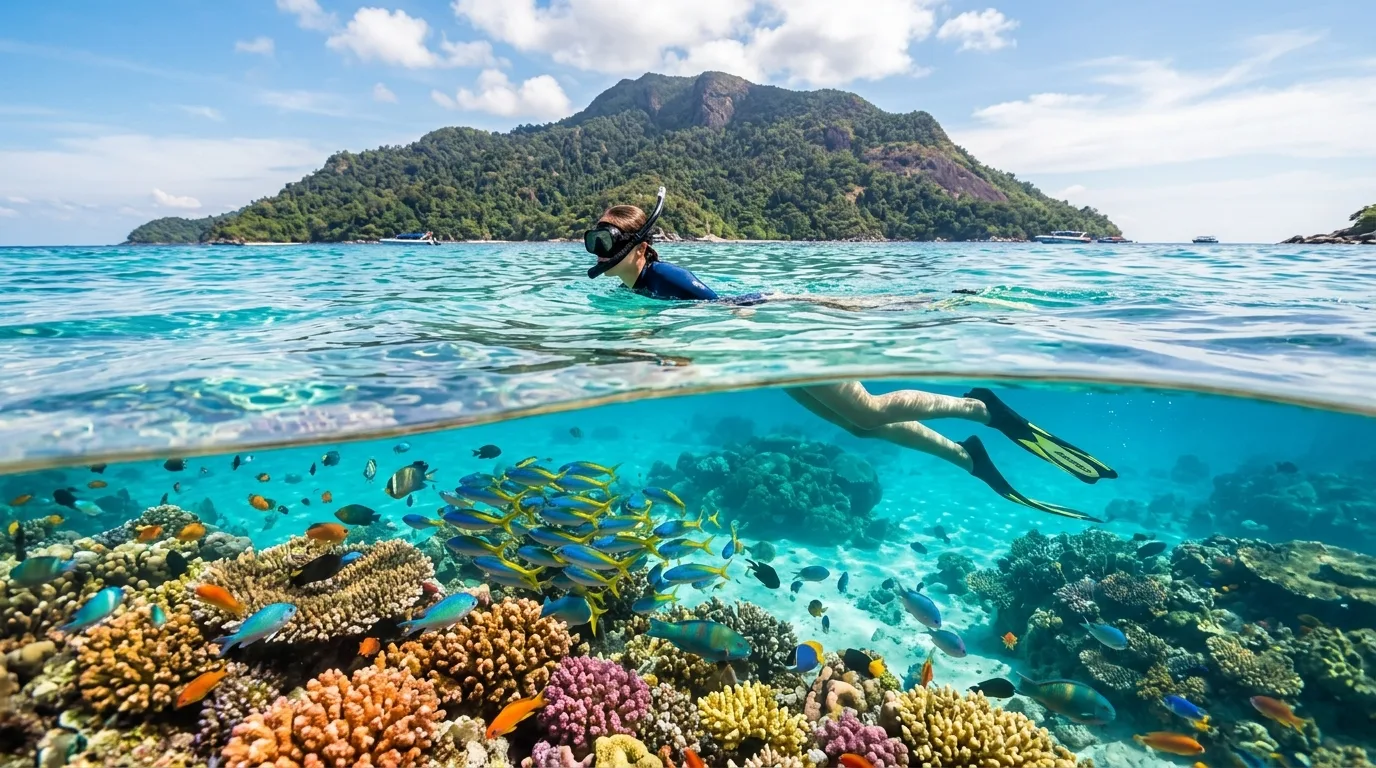
A larger island nearby featuring calm, shallow reefs and frequent sightings of sea turtles.
Visit the northern shoreline for the clearest water conditions.
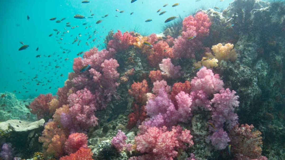
A submerged rock formation covered in soft purple and pink corals located between Koh Lipe and Koh Adang.
Hold onto the guide rope due to strong currents.
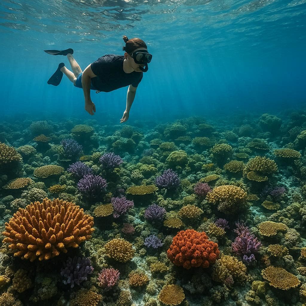
Known for its hard coral gardens and high visibility, this spot is a frequent stop for boat excursions.
Look for blue-spotted stingrays hiding under coral ledges.
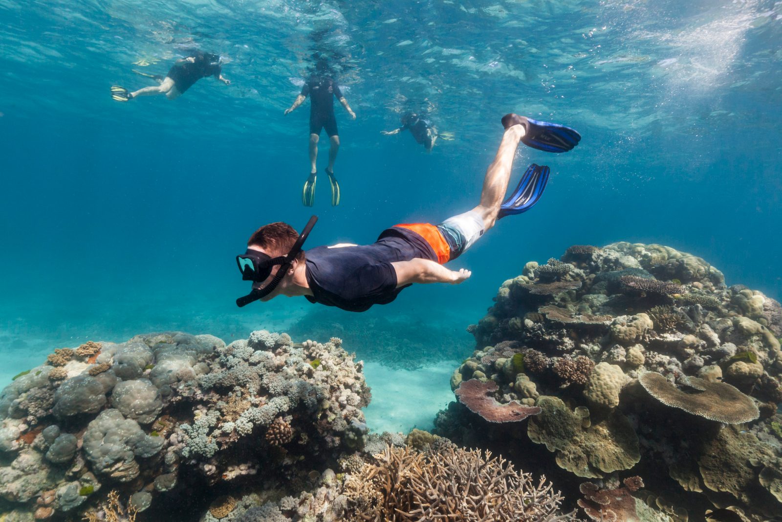
Features extensive sandy beaches and surrounding fringing reefs suitable for beginners.
Explore the southern bay for a variety of tropical fish.
Access to the snorkeling areas around Koh Lipe requires payment of an official national park fee. This fee is mandatory for all visitors entering the marine park zones.
Verdict: A typical adult pays 200 THB, which covers entry to the Tarutao National Marine Park for a period of 5-7 days.
The snorkeling areas within the Tarutao National Marine Park region operate on a consistent daily schedule throughout the week. These hours apply to the waters and zones identified on the snorkeling map.
Work through these in order, starting a couple of weeks out and finishing the morning you head to the water.
Everything you need to know about koh lipe snorkeling map
While many boat operators provide guided tours, having a koh lipe snorkeling map helps you identify key reefs and marine life locations independently. It provides context for the diverse ecosystems surrounding the island.
You can obtain a detailed map through the official Tarutao National Marine Park portal or at local dive centers on the island. A comprehensive island reef guide is essential for planning your daily aquatic excursions.
Yes, many guides highlight protected zones and specific coral gardens near Koh Adang and Koh Rawi. Referring to a proper koh lipe snorkeling map ensures you remain within safe, authorized swimming areas.
For optimal visibility, utilize your map during the best arrival window of 08:30–14:00. This period offers the clearest water and best light conditions before the afternoon tide shifts.
The 200 THB park fee is a mandatory contribution to the Tarutao National Marine Park, which covers your access for 5-7 days. Always keep your payment receipt with your koh lipe snorkeling map when visiting park-regulated sites.
Children can use a visual map to learn about tropical fish, sea turtles, and hard corals found in shallow bays. Supervised exploration ensures they understand the importance of not touching the delicate marine structures.
Beyond your map, carry sun protection, a mask, snorkel, and fins. Ensuring you have adequate hydration and the correct park registration status will make your day trip much smoother.
Koh Lipe Snorkeling Tours
Read more Tickets & toursSnorkeling Packages in Koh Lipe
Read more GuideSnorkeling from the Beach in Koh Lipe
Read more Tickets & toursDiving Packages in Koh Lipe
Read more GuideBest Snorkeling Spots in Koh Lipe
Read more Tickets & toursPrivate Snorkeling Tours in Koh Lipe
Read more GuideKoh Lipe Snorkeling Tour Price Guide
Read more